

Drone Orthomosaic Mapping Services
High-resolution orthomosaic mapping supporting architectural planning, site analysis, and campus expansion workflows.
Project Overview
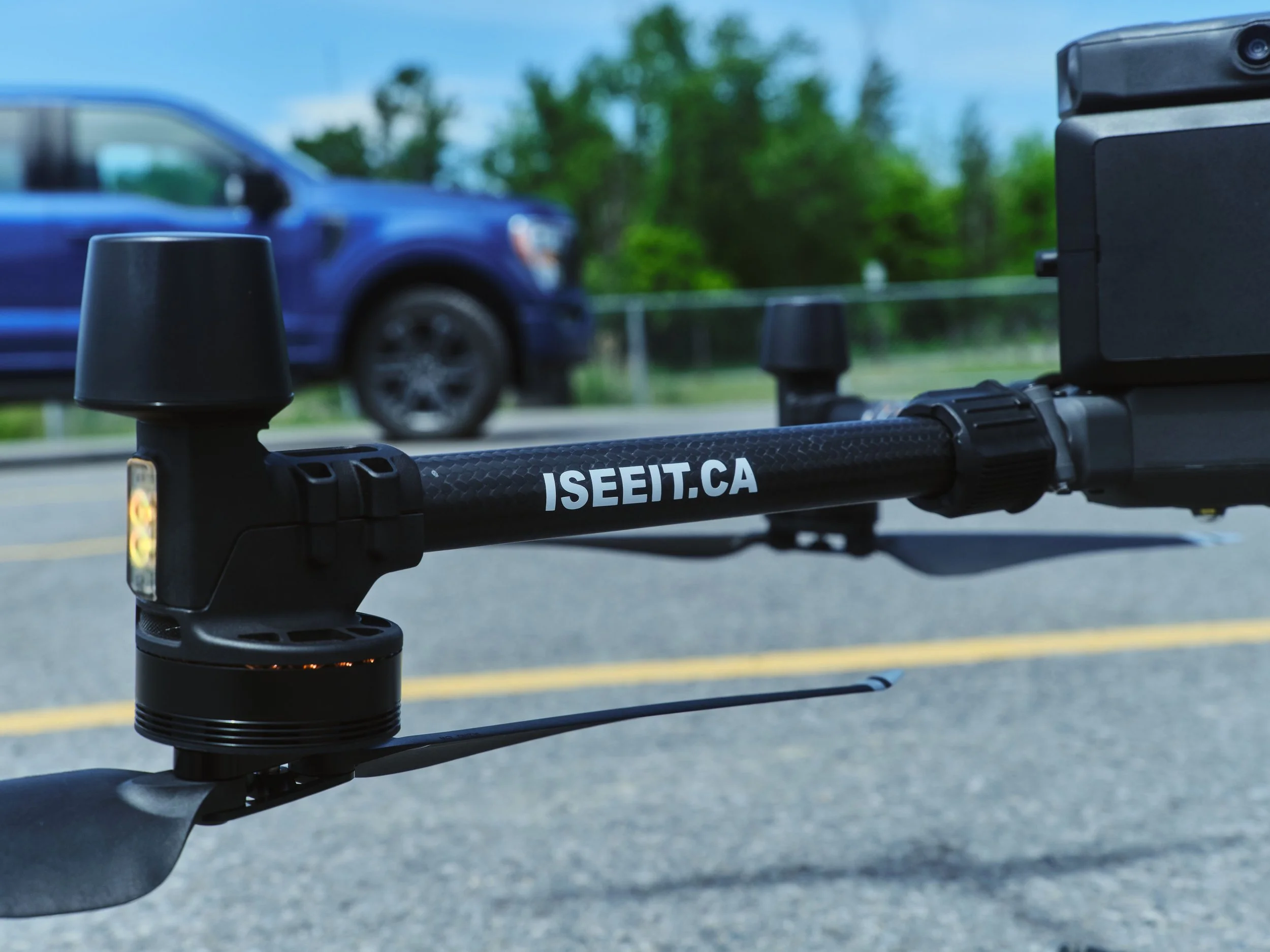
ISEEIT was contracted to perform high-resolution orthomosaic mapping services for a Catholic school campus to support the planning and design of a proposed building expansion project.
Using drone-based aerial imaging and RTK-enabled acquisition workflows, the project generated a geometrically corrected, map-accurate visual dataset designed to support architectural planning, site analysis, and CAD-based design workflows.
The resulting orthomosaic provided architects and planners with a reliable, measurement-ready visual foundation for evaluating site constraints, infrastructure integration, and future development opportunities.
The Challenge
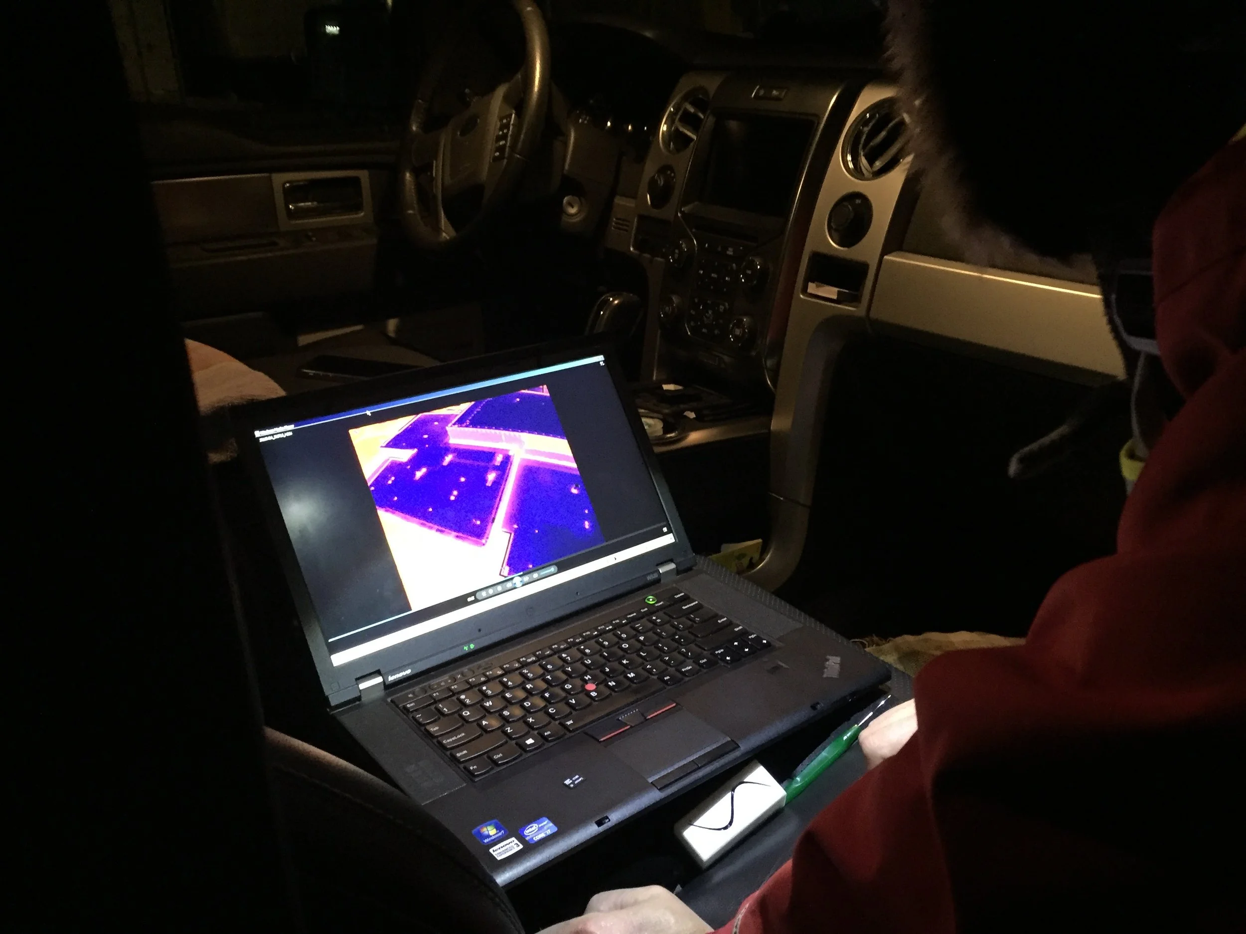
The project required highly accurate aerial mapping data capable of supporting architectural planning and early-stage design development workflows across an active school campus environment.
Large site requiring complete aerial coverage
Need for CAD-compatible visual datasets
Requirement for accurate site measurements
Active campus environment limiting disruption
Need for rapid data collection and delivery
Requirement for consistent, high-resolution imagery
Traditional survey workflows would have required additional field time, increased operational complexity, and multiple site visits during early-stage planning.
Our Approach
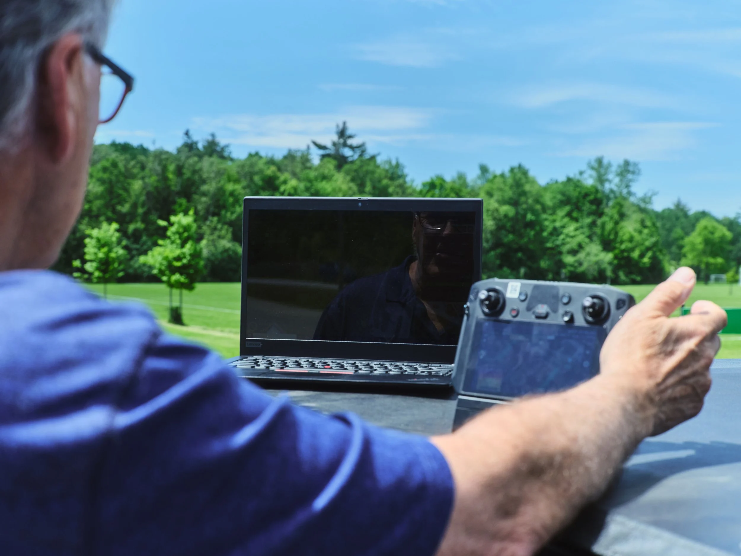
ISEEIT deployed an RTK-enabled drone mapping workflow designed to efficiently capture high-resolution aerial imagery across the full campus and surrounding development areas.
Automated aerial grid flights were performed to systematically capture overlapping georeferenced imagery optimized for photogrammetric reconstruction and orthomosaic generation.
The workflow included:
Strategic aerial flight planning
RTK-enabled image acquisition
High-overlap aerial capture workflows
Photogrammetric image alignment
Point cloud and surface model generation
Orthorectified orthomosaic production
Quality control and positional verification
The resulting dataset provided architects and planners with a seamless, geometrically corrected aerial map suitable for design analysis and measurement workflows.
Results
The orthomosaic mapping project successfully delivered a high-resolution, measurement-ready aerial dataset thatimproved planning efficiency and streamlined early-stage architectural workflows.
Project outcomes included:
Improved site visualization and planning
Faster architectural design iteration
Accurate distance and area measurement support
Reduced need for repeated field surveys
Lower operational and survey costs
Reduced disruption to campus operations
The resulting orthomosaic provided architects and planners with a reliable spatial foundation for evaluating the proposed building addition and coordinating future development activities.