
Orthomosaic & Photogrammetry
High-resolution aerial mapping and digital modeling solutions designed to support planning, documentation, analysis, and project visualization workflows.
Accurate Aerial Mapping & Digital Modeling
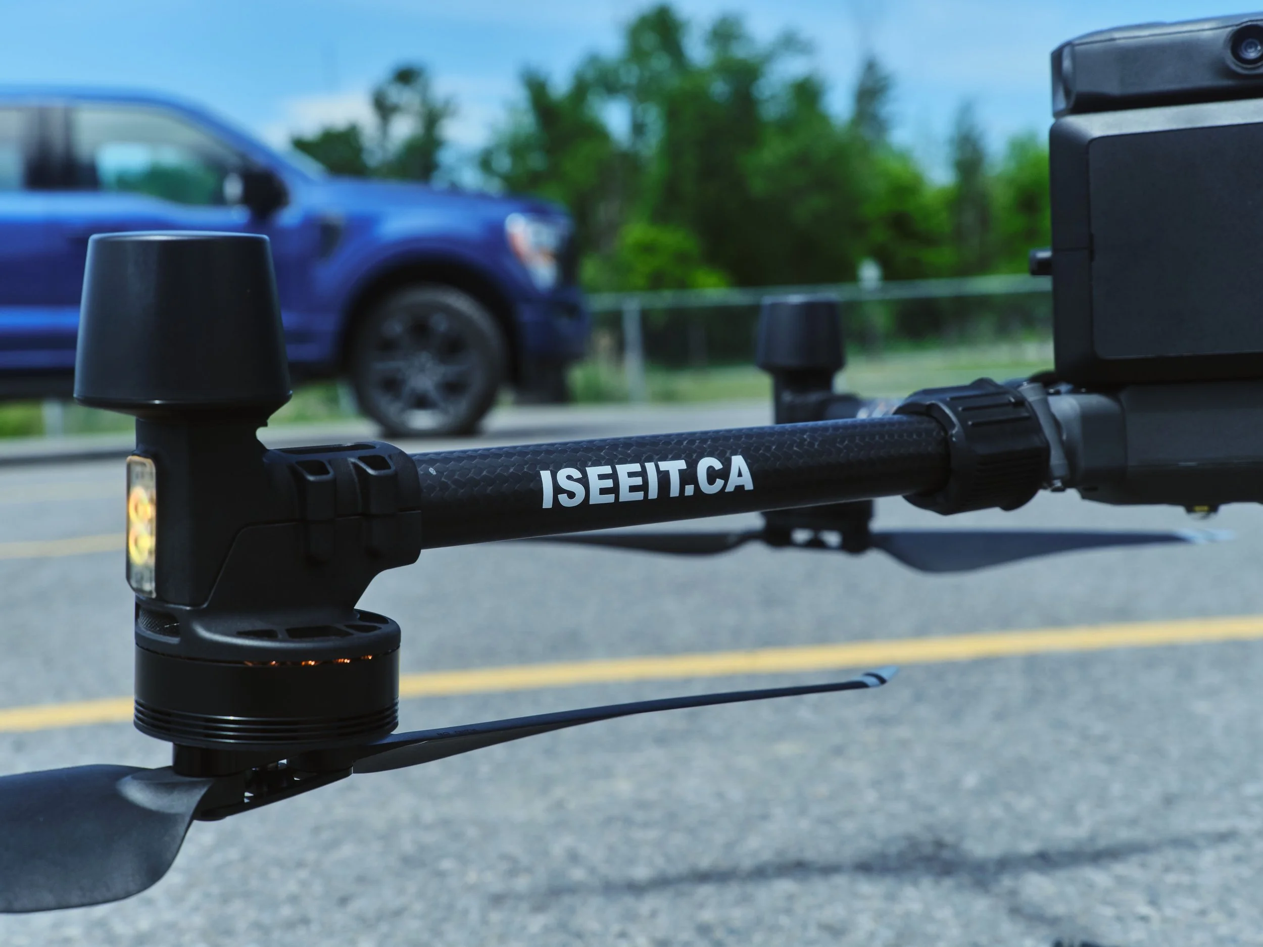
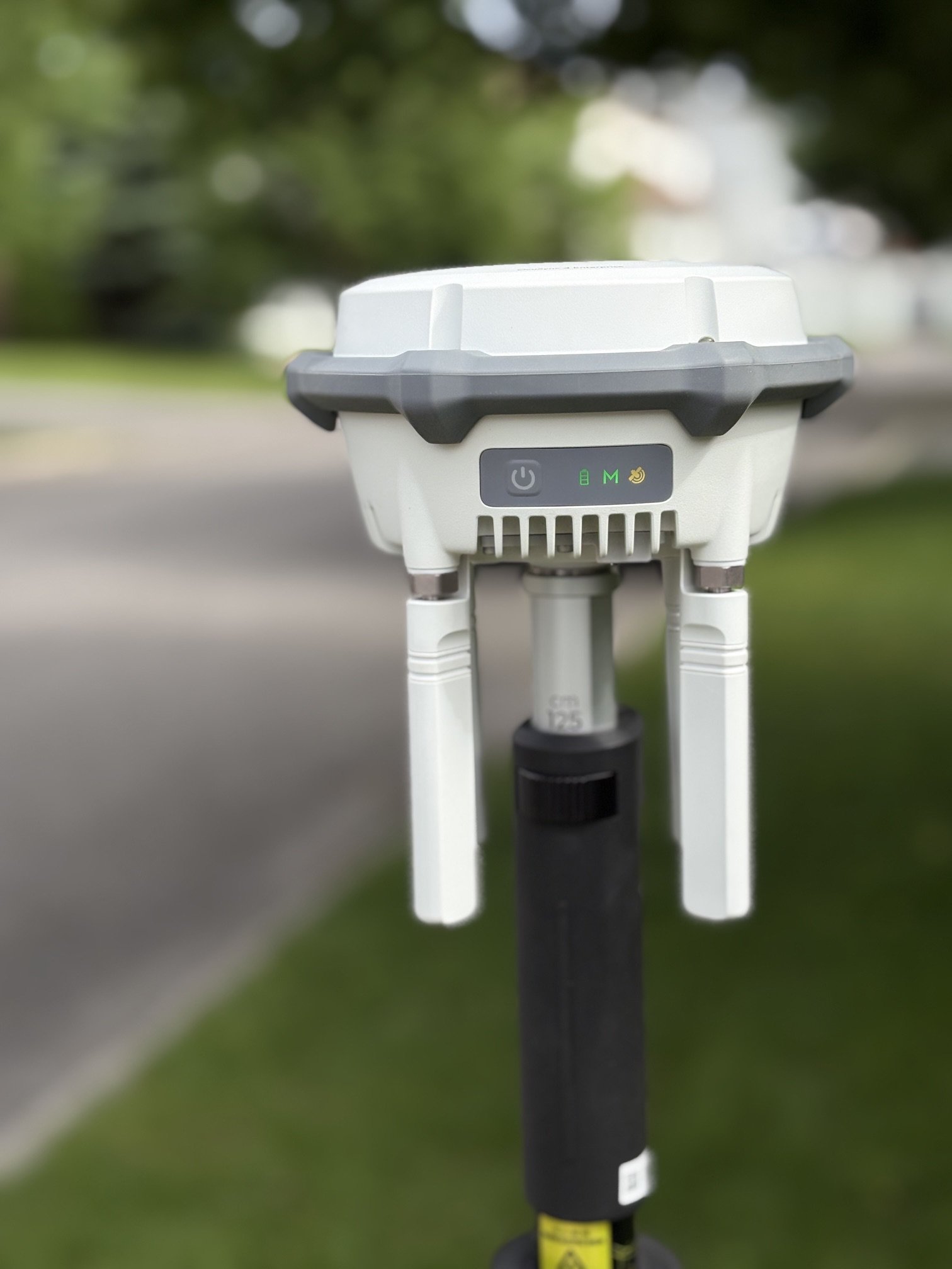
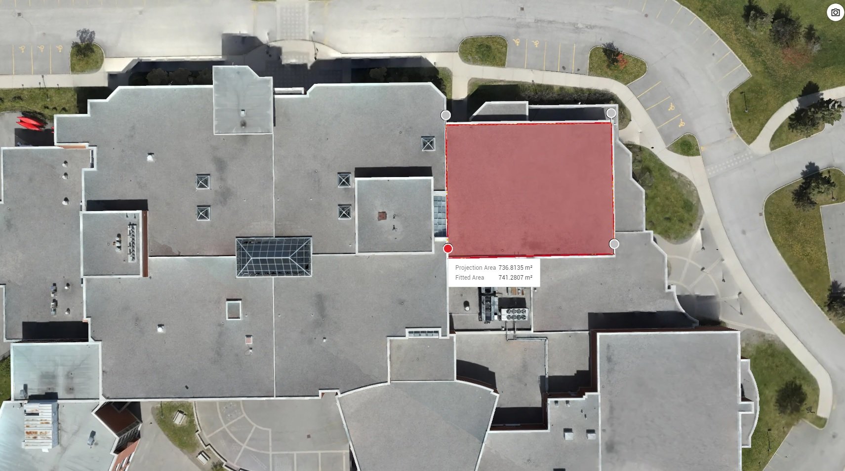
ISeeIt.ca provides professional aerial mapping and photogrammetry services, delivering high-resolution orthomosaics, 3D models, terrain data, and other geospatial products with survey-grade accuracy of 1–3 cm.
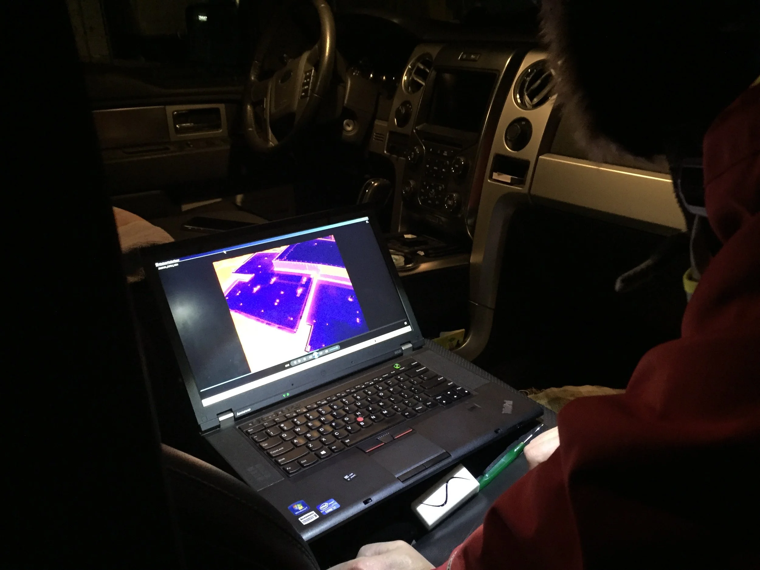
Through advanced drone imaging and data processing workflows, we help support project planning, documentation, site analysis, infrastructure assessment, and construction monitoring.
Our accurate and detailed mapping solutions provide engineering firms, property professionals, and infrastructure teams with the information they need to make informed decisions and better understand project conditions.
Common Applications
-
Generate high-resolution stitched aerial imagery for site documentation, planning, and analysis workflows.
-
Create detailed 3D visualizations that support project planning, presentations, and infrastructure analysis.
-
Track project development and site changes over time using repeatable aerial capture workflows.
-
Capture accurate aerial overviews for commercial properties, development sites, and infrastructure projects.
-
Provide visual deliverables that support engineering reports, project planning, and stakeholder communication.
Why Use Orthophotography & Photogrammetry?
Accurate Visual Documentation
Generate detailed aerial imagery and models that support project planning and long-term recordkeeping.
Improve Project Visibility
Provide teams and stakeholders with clear aerial perspectives of sites, assets, and infrastructure conditions.
Efficient Large-Scale Capture
Collect detailed site information quickly across large or difficult-to-access areas.
Support Better Planning
Visual mapping and modeling help improve coordination, communication, and project understanding.
Flexible Digital Deliverables
Deliverables can be customized to support engineering, development, documentation, and reporting workflows.
Let’s Discuss Your Mapping Project
Contact ISeeIt.ca to discuss orthophotography, photogrammetry, aerial mapping, or digital modeling solutions tailored to your project requirements.