
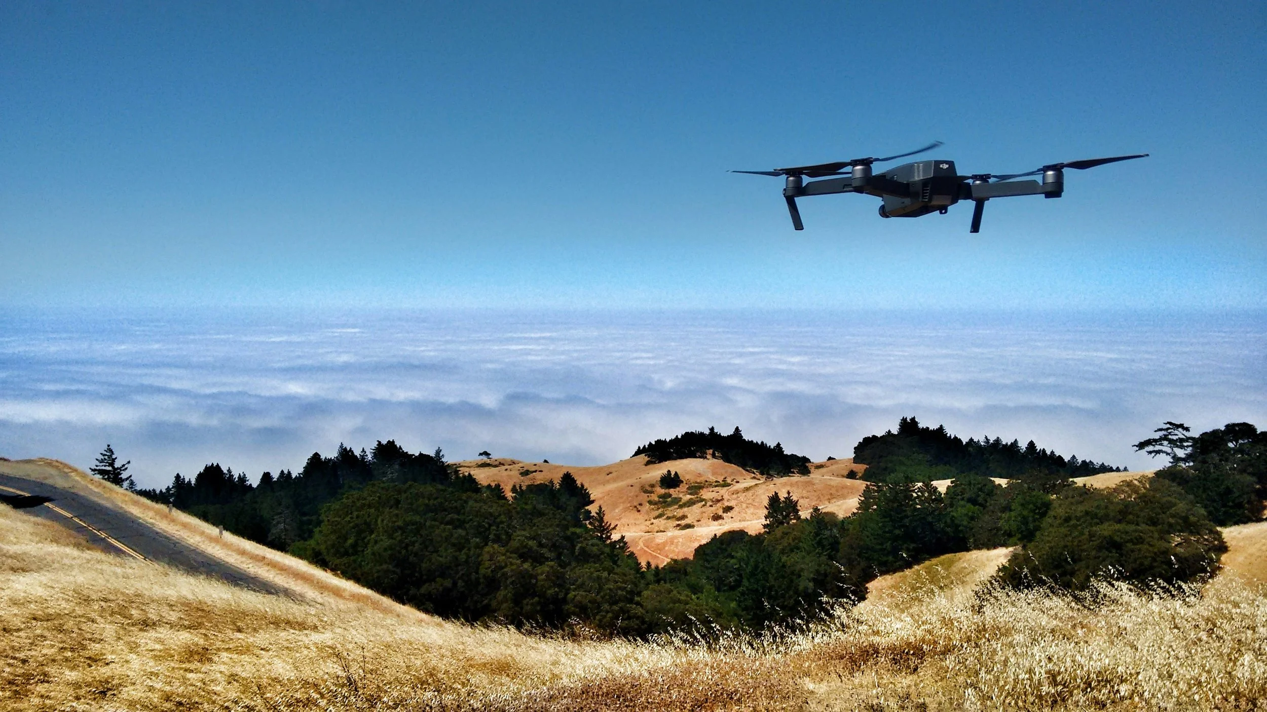
LiDAR Infrastructure Mapping
UAV-based LiDAR mapping and terrain analysis supporting watershed modelling, flood risk assessment, and long-term infrastructure planning.
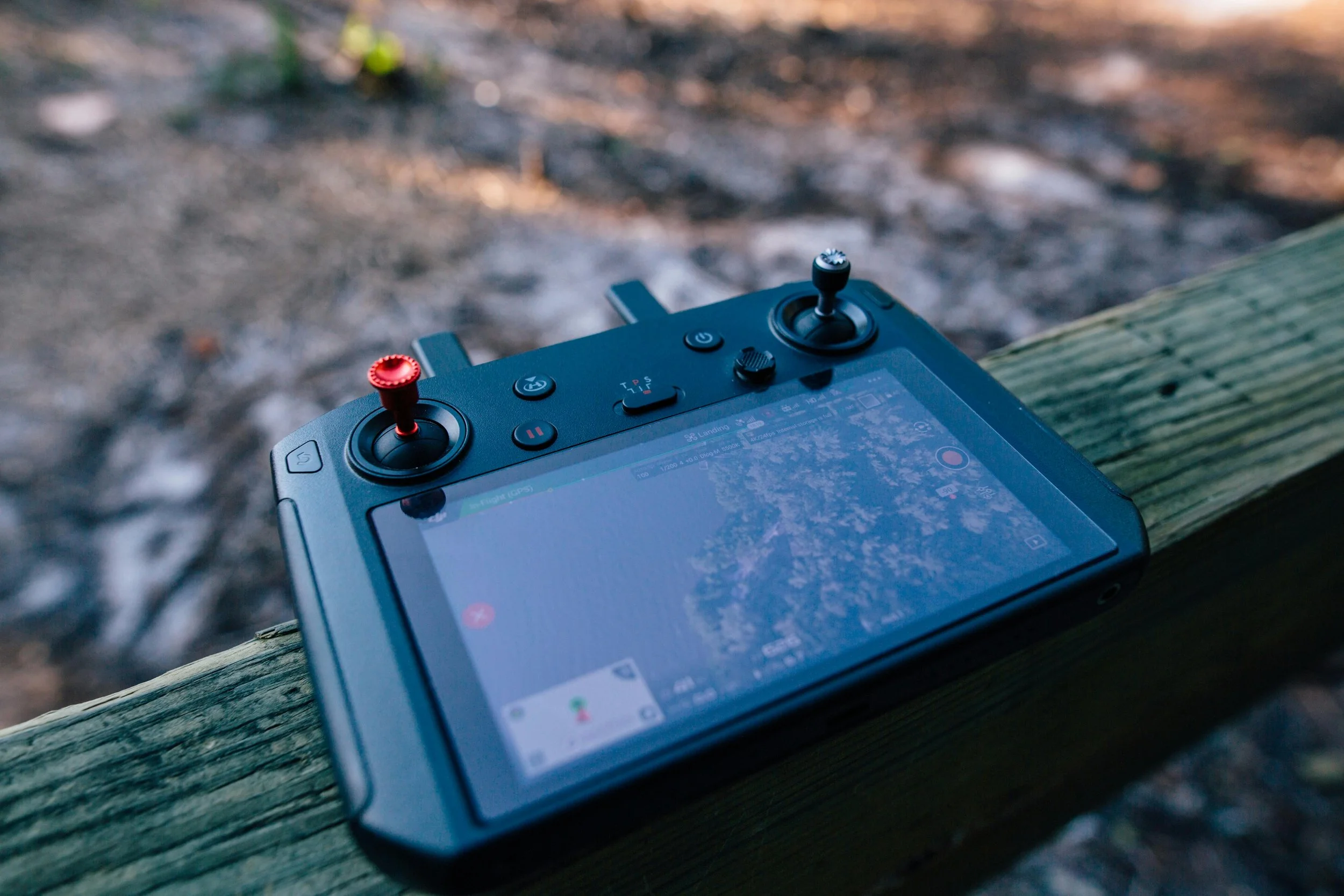
Project Overview
ISeeIt.ca was contracted to perform a high-resolution aerial LiDAR survey of a dam and surrounding watershed area to support terrain analysis, flood risk assessment, and long-term infrastructure planning initiatives.
Using drone-mounted LiDAR technology, the project team rapidly captured dense georeferenced elevation data across complex terrain, vegetated areas, embankments, spillways, and surrounding infrastructure with a high degree of accuracy.
The resulting datasets provided engineering and environmental teams with detailed terrain information to support hydrological analysis, watershed modelling, drainage evaluation, and future mitigation planning.
The Challenge
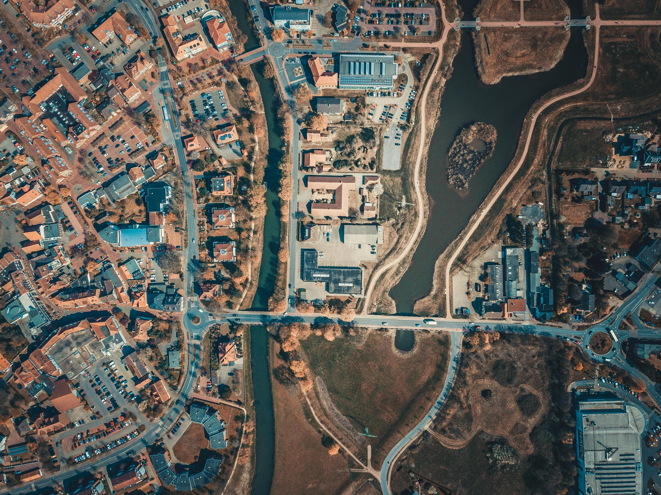
The project area presented several operational and environmental challenges that made conventional survey workflows less efficient and more resource-intensive.
Dense vegetation obscuring ground visibility
Steep embankments and uneven terrain
Large coverage area requiring efficient acquisition
Need for highly accurate elevation data
Requirement to identify subtle drainage variations
Terrain conditions impacting watershed modelling accuracy
Traditional photogrammetry alone would not have provided the bare-earth terrain detail required beneath vegetation and canopy coverage for accurate hydrological analysis.
Our Approach
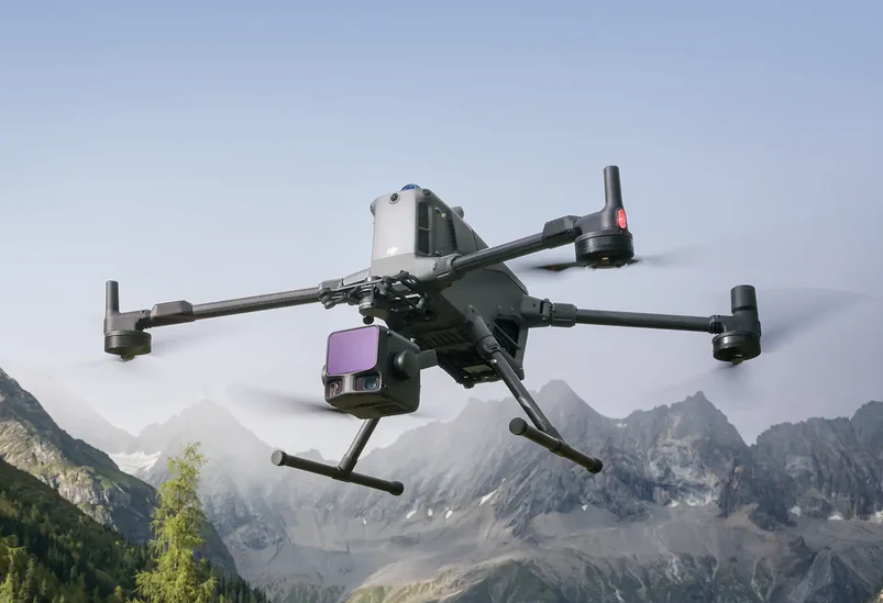
ISEEIT deployed a UAV-based LiDAR workflow designed to efficiently capture high-density spatial data across the full watershed and infrastructure area.
Using RTK-enabled aerial acquisition systems and advanced point cloud processing workflows, the project team generated accurate terrain datasets optimized for engineering and environmental analysis applications.
The LiDAR workflow included:
Strategic aerial flight planning
RTK-enabled data acquisition
Dense georeferenced point cloud capture
Vegetation filtering and ground classification
Digital Terrain Model (DTM) generation
Elevation dataset processing for hydrological analysis
Unlike imagery-based mapping alone, LiDAR technology allowed for accurate bare-earth elevation capture beneath vegetation and tree canopy conditions critical for watershed and flood modelling applications.
Results
The LiDAR survey successfully delivered a comprehensive terrain dataset that significantly improved the client’s ability to analyze and model the surrounding watershed environment.
Project outcomes included:
Improved floodplain and runoff analysis
More accurate watershed delineation
Enhanced drainage and flow-path modelling
Better-informed infrastructure planning
Reduced field survey time and operational costs
Improved situational awareness for future mitigation planning
The resulting datasets provided a reliable foundation for long-term environmental planning, infrastructure management, and flood resilience initiatives.