
Industries We Support
Accurate aerial data solutions tailored for engineering, property, infrastructure, and development professionals across Ontario and Quebec.
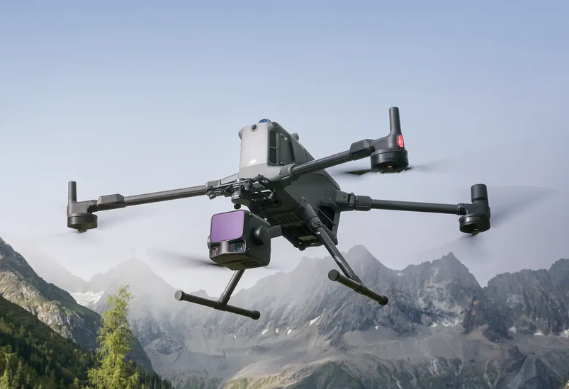
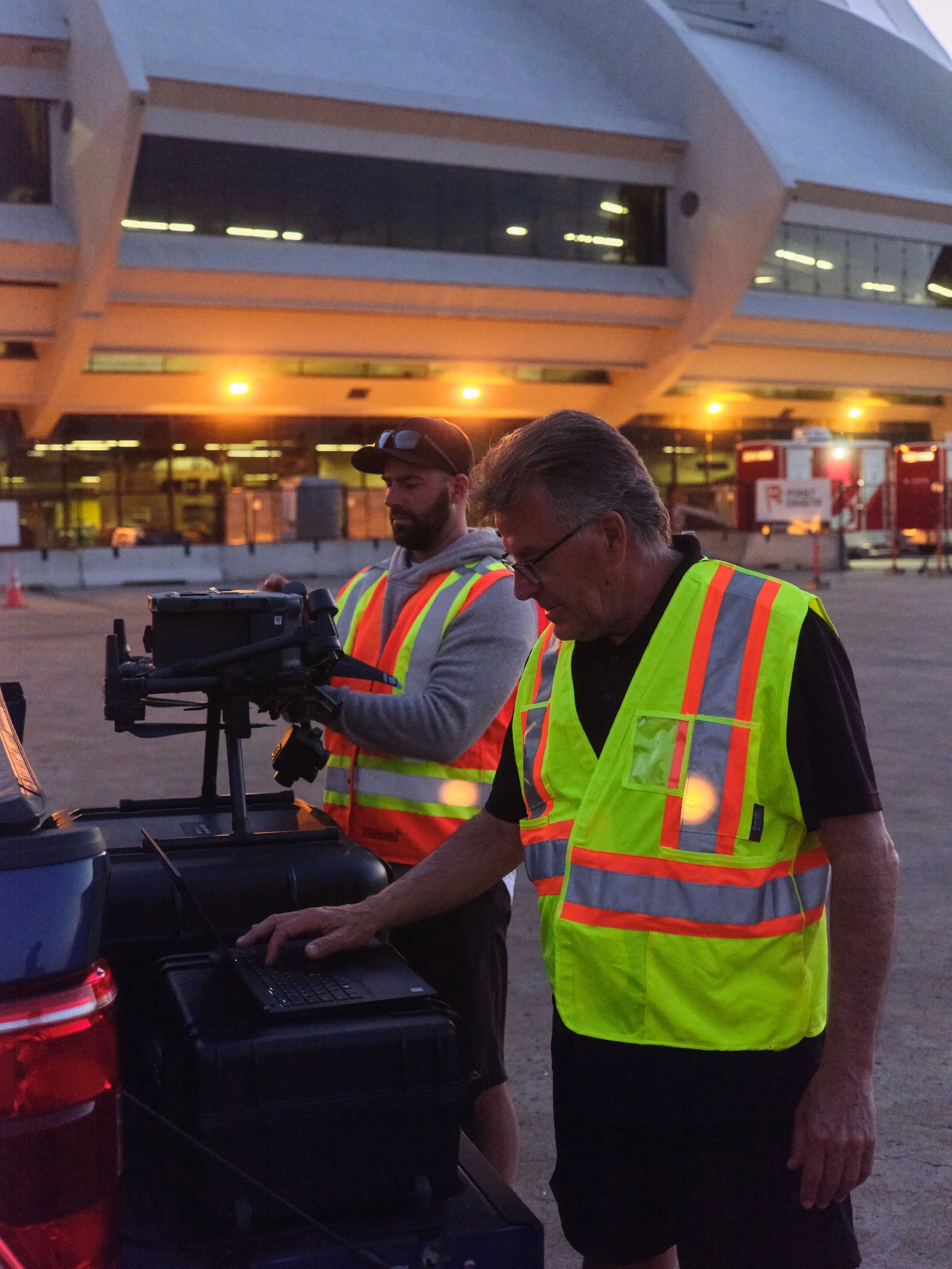
ISEEIT works with professionals who require accurate, scalable, and flexible aerial data solutions for inspection, assessment, planning, and documentation workflows. From building envelope engineering to property management and infrastructure assessment, our services are designed to support informed decision-making with high-resolution aerial intelligence.
Building Envelope Engineers
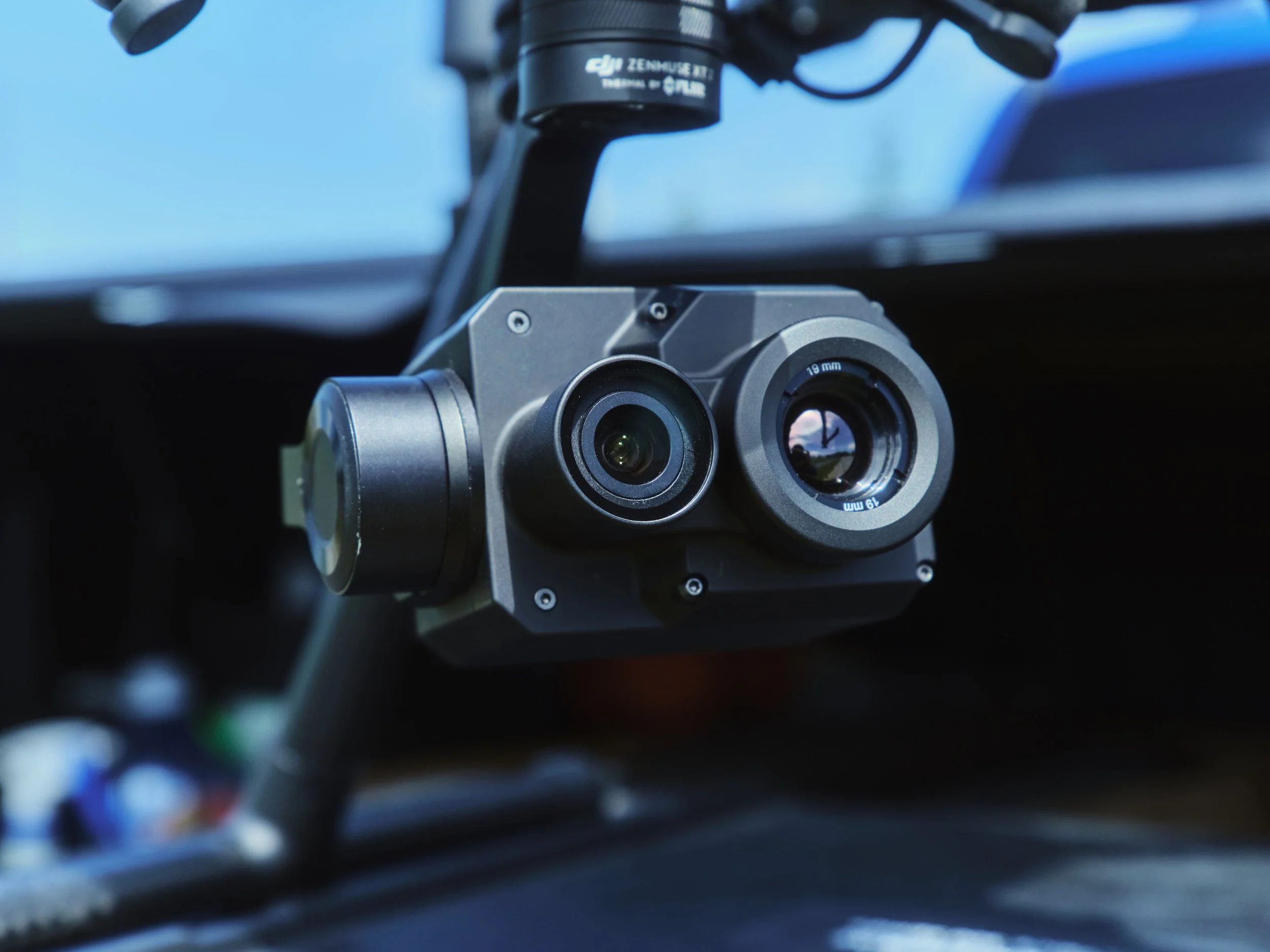
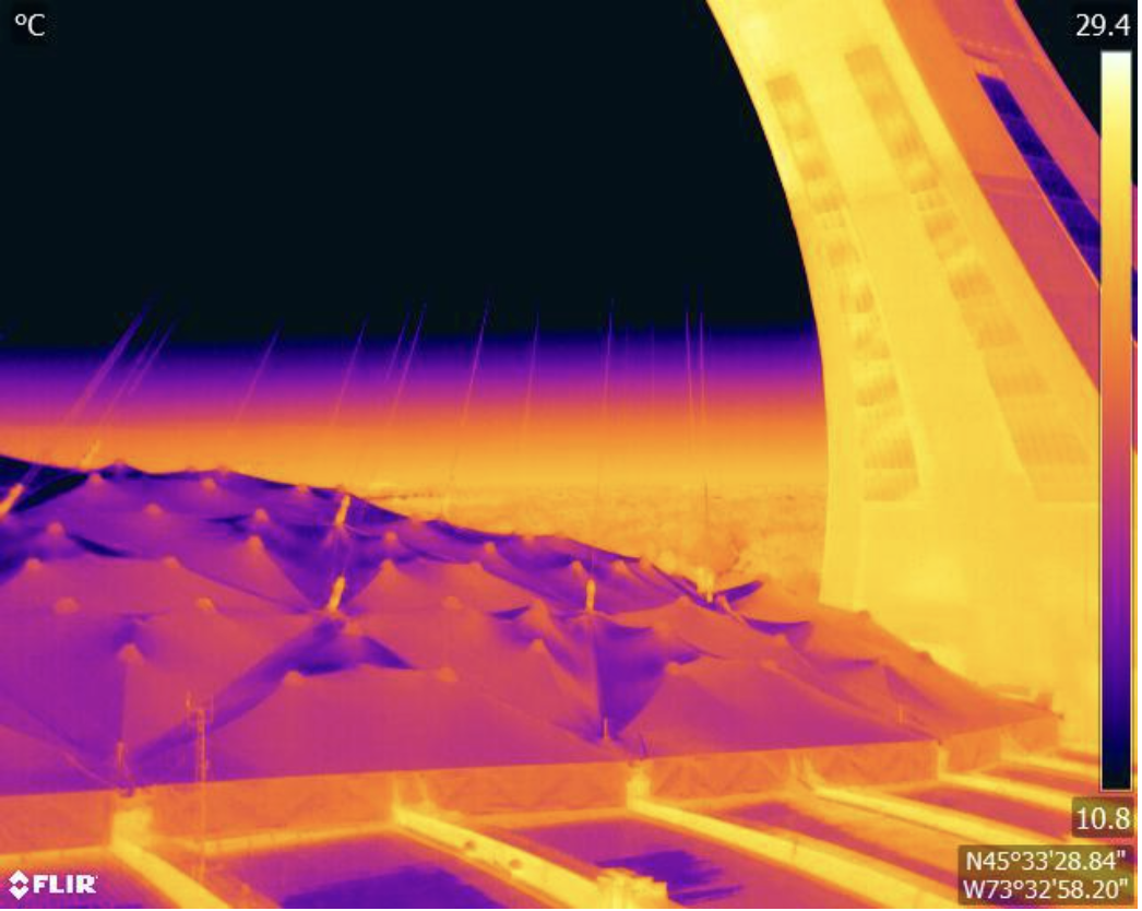
High-resolution aerial inspections, LiDAR, and thermal imaging solutions that support safer, faster, and more detailed building envelope condition assessments.
Facade inspections
Roofing assessments
Thermal diagnostics
LiDAR capture
High-resolution reporting support
Property Management
Scalable digital inspection solutions for multi-property portfolios, helping identify maintenance concerns early while reducing disruption and inspection costs.
Multi-site inspections
Preventative maintenance support
Roof condition reviews
Asset documentation
Rapid deployment

Commercial Real Estate
Accurate aerial imaging and building data collection that supports asset evaluation, project planning, documentation, and long-term property management.
Property documentation
Development planning
Condition assessments
Asset visualization
Site overviews
Municipal & Infrastructure
Aerial data capture and inspection services designed to support infrastructure assessments, planning initiatives, maintenance programs, and public works projects.
Multi-site inspections
Preventative maintenance support
Roof condition reviews
Asset documentation
Rapid deployment
Construction & Development
Progress tracking, orthomosaic mapping, and aerial documentation solutions that help teams monitor projects, improve communication, and streamline site oversight.
Construction progress
Orthomosaic mapping
Site visualization
Documentation support
Project tracking
Let’s Discuss Your Project
Contact ISEEIT to discuss aerial data, inspection, LiDAR, or thermal imaging solutions tailored to your project requirements.