
About ISeeIt.ca
Professional aerial data, LiDAR, and inspection solutions designed for engineering, property, and infrastructure professionals across Ontario and Quebec.
Built Around Accurate Aerial Intelligence
ISeeIt.ca provides professional aerial data capture services using advanced LiDAR, digital imaging, and infrared thermal technologies to support building assessments, infrastructure inspections, and property documentation workflows.
Since entering the commercial drone industry in 2014, ISEEIT has focused on delivering flexible, high-resolution aerial solutions tailored to the needs of engineering, property management, and infrastructure professionals.
Our approach combines technical capability, adaptability, and practical project support to help clients gather accurate data safely, efficiently, and with minimal operational disruption.
Why Clients Work With ISEEIT
-
Deliverables and workflows can be customized to fit engineering reports, property assessments, documentation requirements, and client-specific project needs.
-
ISEEIT operates in compliance with Transport Canada drone regulations and commercial operational standards.
-
Commercial drone operations are fully insured, helping provide confidence and risk protection for professional projects and inspections.
-
LiDAR, infrared thermal imaging, orthophotography, and digital inspection technologies help support accurate project analysis and reporting.
-
Aerial data collection reduces the need for costly manual inspections while helping improve efficiency, safety, and project documentation.
Trusted on Complex Inspection & Infrastructure Projects
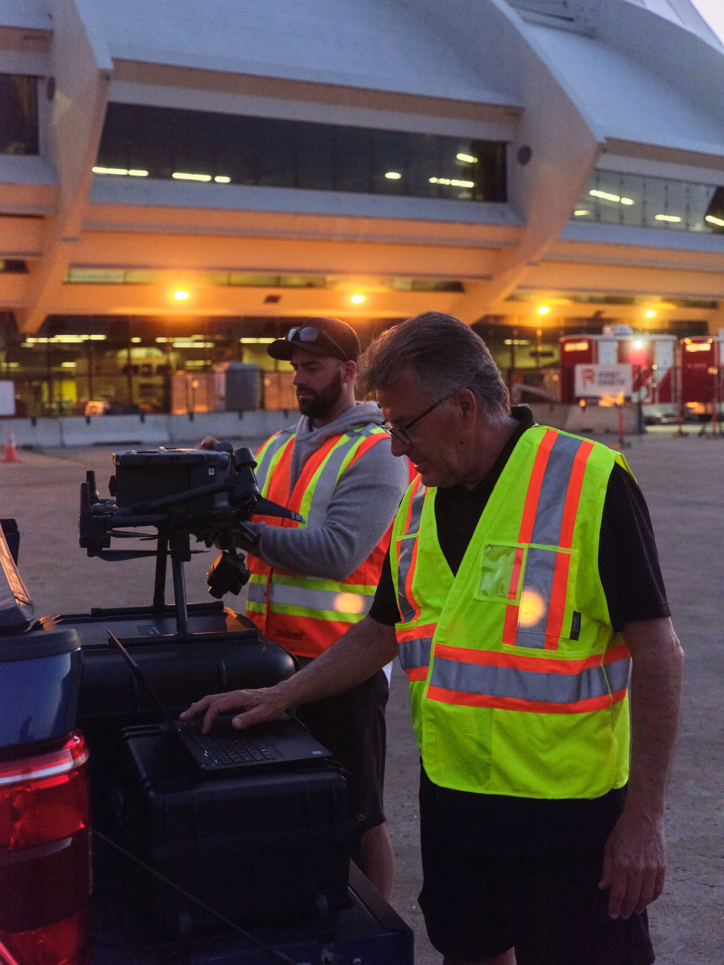
From building envelope assessments to aerial documentation and thermal imaging, ISEEIT supports projects requiring accurate, high-resolution aerial data and dependable operational execution.
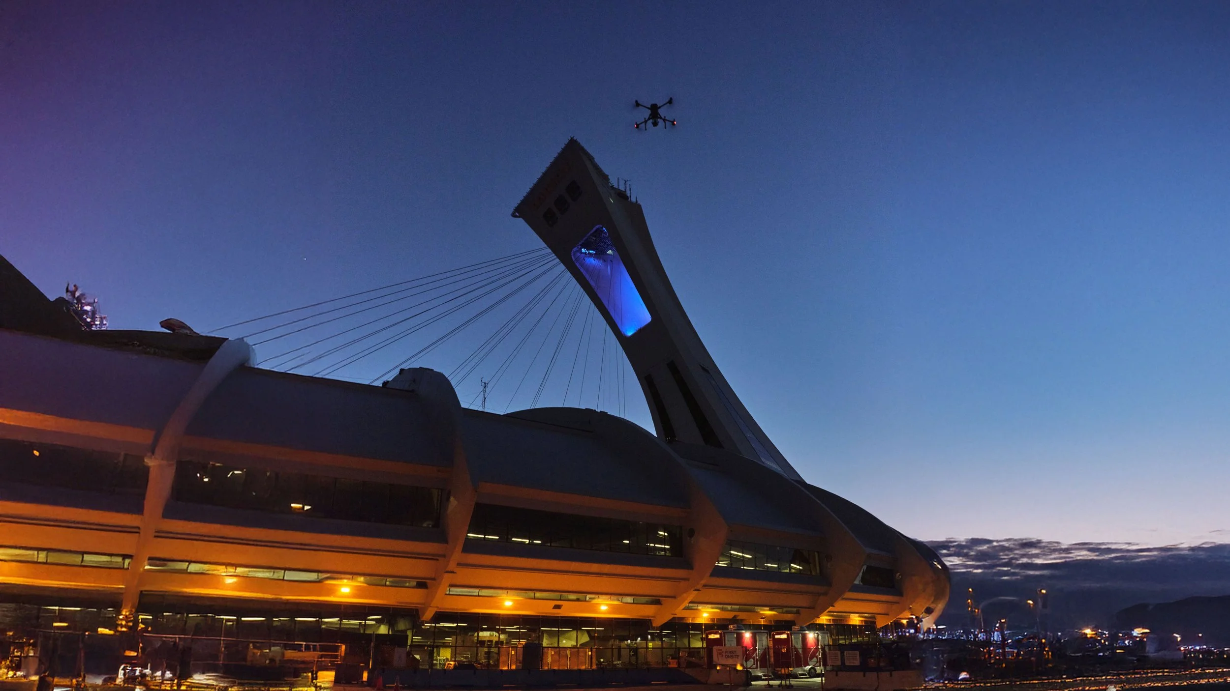
Recent work has included aerial support on landmark projects such as Montreal’s Olympic Stadium.
Serving Ontario & Quebec
ISeeIt.ca rovides aerial inspection, LiDAR, and imaging services across Ontario and Quebec, supporting engineering firms, property managers, infrastructure professionals, and commercial clients.