

LiDAR Mapping
Advanced aerial LiDAR data solutions designed to support mapping, modeling, infrastructure analysis, and site documentation workflows.
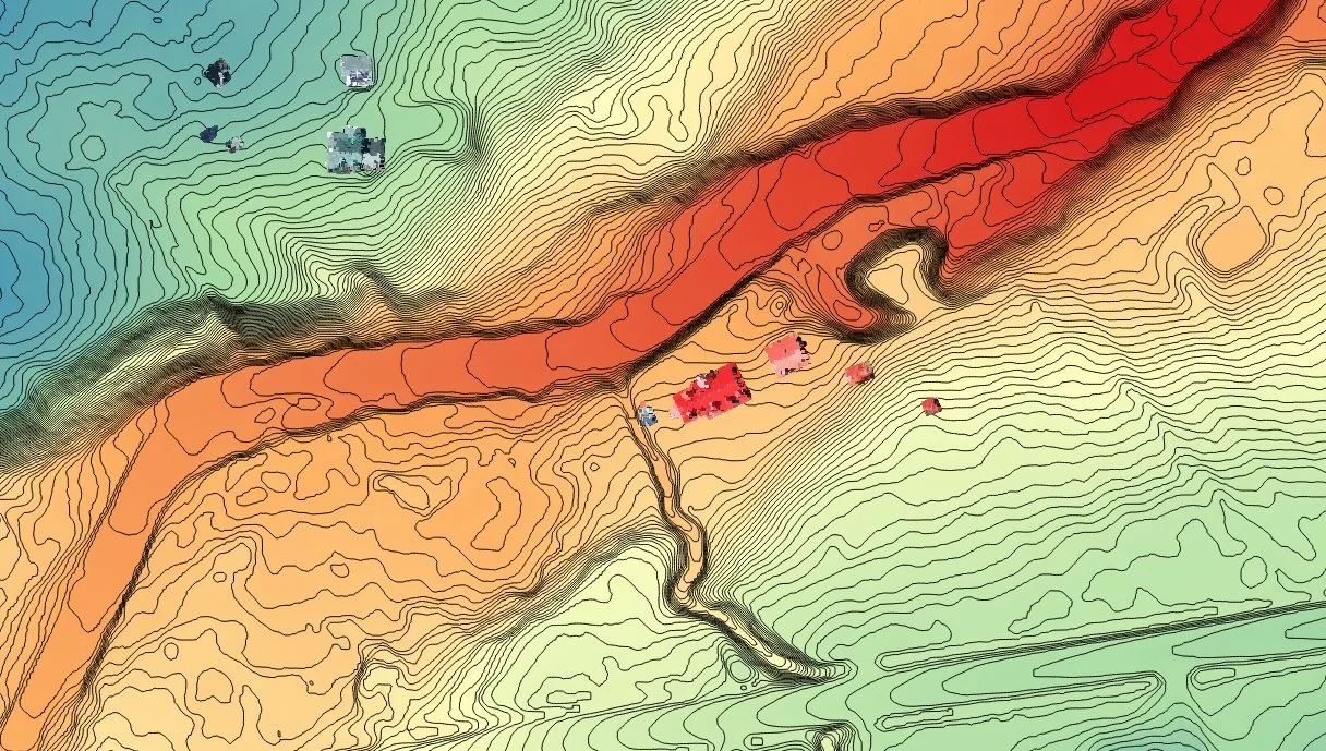
High-Resolution Aerial LiDAR Data
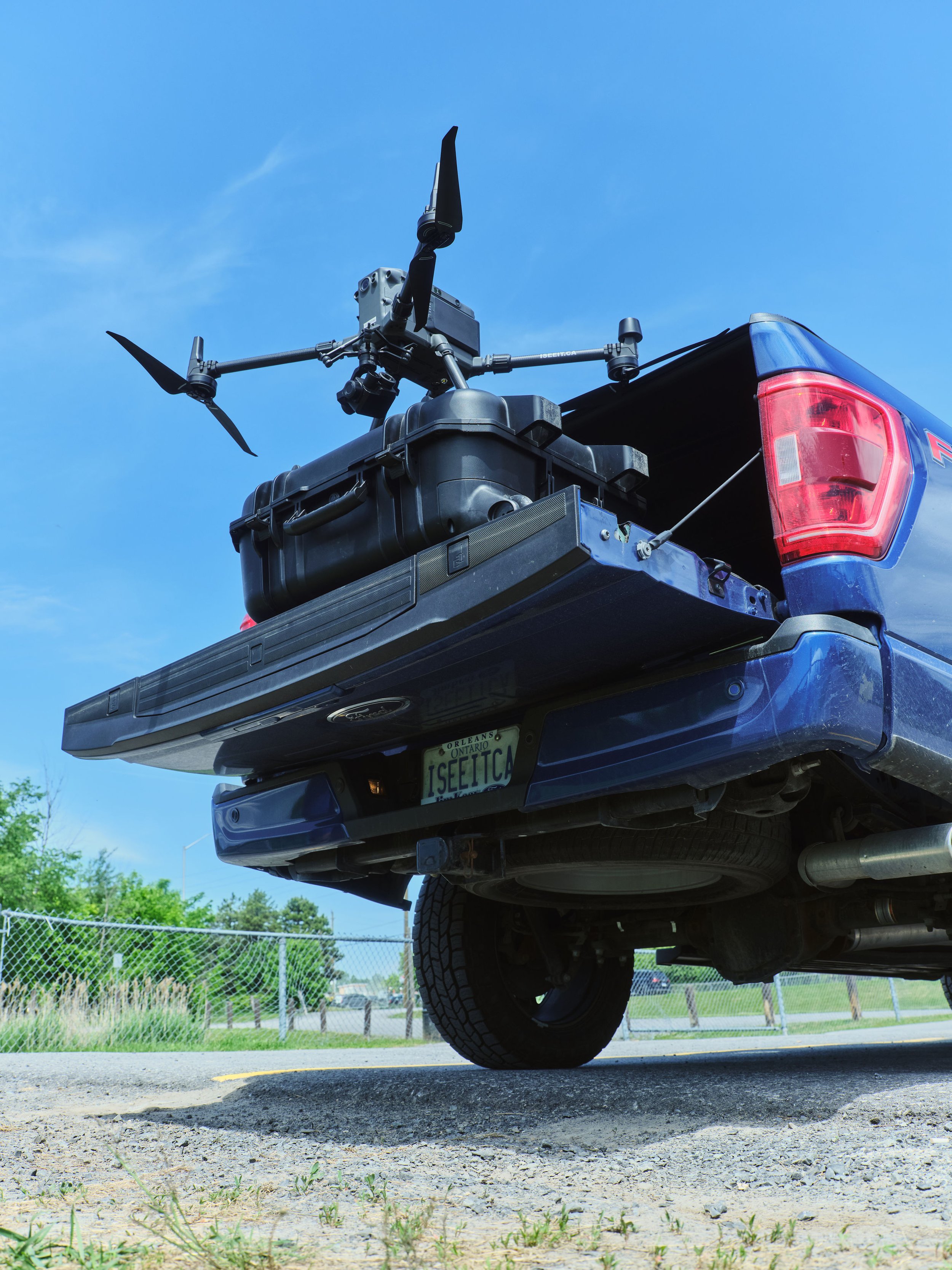
ISeeIt.ca provides professional aerial LiDAR mapping services designed to help engineering, infrastructure, and property professionals gather accurate, high-density spatial data efficiently and safely.
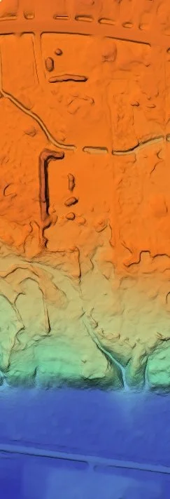
Using advanced aerial LiDAR workflows, detailed terrain models, point clouds, elevation data, and digital surface models can be generated to support analysis, planning, documentation, and project development requirements.
LiDAR technology allows for efficient large-scale data capture while providing highly accurate digital information that supports modern engineering and infrastructure workflows.
Common Applications
-
Generate detailed point cloud datasets for analysis, modeling, and engineering workflows.
-
Create accurate elevation models that support terrain analysis, drainage studies, and planning initiatives.
-
Capture detailed surface-level data for infrastructure, vegetation, buildings, and site analysis.
-
Support infrastructure documentation, planning, and assessment projects with high-resolution aerial mapping data.
-
Generate detailed digital models that improve project visualization and stakeholder communication.
Why Use Aerial LiDAR Mapping?
Accurate Spatial Data
Capture highly detailed digital mapping information that supports modern engineering and infrastructure workflows.
Efficient Large-Scale Coverage
Collect detailed aerial mapping data across large or difficult-to-access areas efficiently.
Improve Project Planning
LiDAR data supports better analysis, modeling, visualization, and informed decision-making.
Reduce Site Disruption
Aerial workflows help minimize operational disruption while reducing the need for extensive ground-based surveying.
Flexible Digital Deliverables
Deliverables can be customized to support engineering, planning, mapping, and reporting requirements.
Let’s Discuss Your LiDAR Project
Contact ISeeit.ca to discuss aerial LiDAR mapping, spatial data capture, digital modeling, or infrastructure mapping solutions tailored to your project needs.